


Researchers from NOAA’s Center for Satellite Applications and Research (STAR), alongside collaborators such as the University of South Florida (USF), have combined artificial intelligence with an extensive archive of satellite imagery to monitor and measure surface-floating seaweed and phytoplankton scums throughout the world’s oceans. This pioneering effort covers data from 2003 to 2022, providing an unprecedented understanding of the distribution and temporal trends of these marine plants, which can affect coastal economies.
Seasonal Growth and Environmental Factors
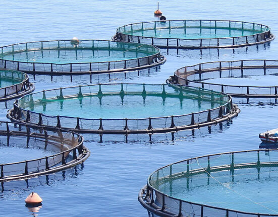
Algae blooms typically reach their highest levels during the spring and summer months, driven by factors such as water temperature and nutrient availability. Inputs like agricultural runoff and sewage increase nutrient levels, which along with warmer waters, can trigger large and persistent blooms. While modest blooms can support healthy marine ecosystems and fisheries, extensive episodes may pose serious threats to the environment and marine life. These harmful blooms also negatively influence ocean-related industries including tourism and commercial fishing.
Global Mapping of Floating Algae
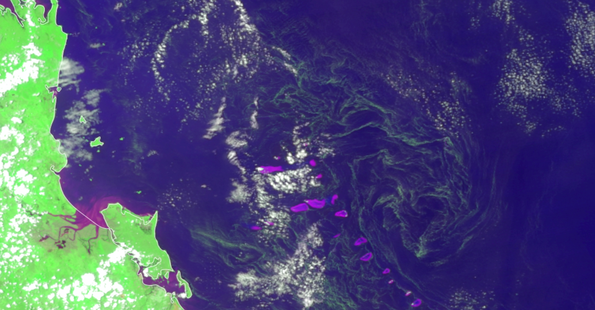
A recent scientific publication highlights the detection of floating algae and phytoplankton scums across tropical and subtropical zones of the Atlantic, Pacific, and Indian Oceans, as well as some enclosed seas. These blooms were observed in both coastal and open ocean waters, covering a combined area of about 44 million square kilometers—more than four times the size of the United States. This represents the first comprehensive quantification of floating algal presence on a global scale.
Advances in Satellite Monitoring and AI Integration
The research initiative stemmed from a 2019 collaborative project that introduced a new ocean color data product to STAR’s Ocean Color Viewer tool. While this offered a qualitative global view of floating algae, accurately quantifying their surface coverage required further investigation. STAR scientists emphasized the importance of a quantitative approach to better grasp the dynamics and long-term changes in floating algae blooms.
Future Directions and Ocean Economy Implications
Filling global data gaps is crucial for forecasting and managing algal blooms, which has direct benefits for coastal economies. With rapid progress in satellite sensors and computational models, STAR aims to expand its research to incorporate additional satellite datasets and advanced modeling techniques. This effort will deepen the understanding of biological and physical processes driving the increasing frequency and extent of algal blooms, supporting improved environmental and economic resilience.
Leave feedback about this